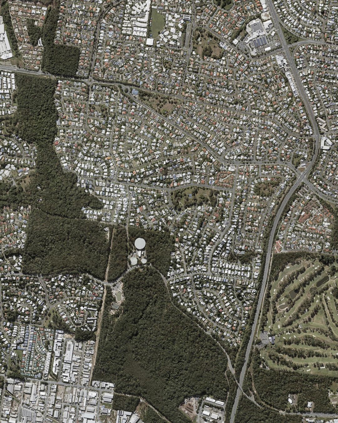
Aroona Park, Juno Park and the suburb’s other reserves can help explain your property’s setting. Check the actual route, crossings, road noise and access from your address. Describe observable features rather than making broad claims about safety or how every buyer uses the neighbourhood.
- Parks and reserves
- 1Aroona ParkNoval Street · 0.2 km
- 2Ridgehaven ParkPark · 0.8 km
- 3Ocean Ridge ParkPark · 0.5 km
- 4Kalana ParkPark · 1.0 km
- 5Juno ParkJuno Drive · 0.7 km
- 6Kestrel ParkPark · 0.8 km
Land area1.9km²
Postcode4551
CouncilSunshine Coast Regional
Locality centre26.783° S · 153.117° E
Main roads — Beerburrum Street, Nicklin Way and Parklands Boulevard; connectors include Albatross Avenue, Alexander Street, Browning Boulevard, Curlew Street and Kalana Road. Early learning — Edge Early Learning Aroona (Beerburrum Street, 0.5 km).
Distances are straight-line from the locality centre (26.783° S, 153.117° E), not walking distances. Places and road classes: Queensland Government Administrative Boundaries and Roads layers with a Google Places sweep, compiled 3 Aug 2026. Aerial photography © State of Queensland, Queensland Spatial Imagery — publicly released.